|
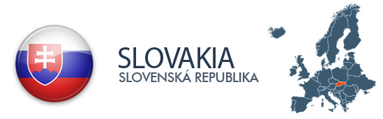
Introduction
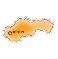
The Slavs arrived in the territory of present day Slovakia in the 5th and 6th centuries during the migration period. In the course of history, various parts of today's Slovakia belonged to Samo's Empire
(the first known political unit of Slavs), Principality of Nitra (as independent polity, as part of Great Moravia and as part of Hungarian Kingdom), Great Moravia, Kingdom of Hungary, the Austro-Hungarian
Empire or Habsburg Empire, and Czechoslovakia. A separate Slovak state briefly existed during World War II, during which Slovakia was a dependency of Nazi Germany between 1939–1944.
From 1945 Slovakia once again became a part of Czechoslovakia. The present-day Slovakia became an independent state on 1 January 1993 after the peaceful dissolution of Czechoslovakia.
|


 Albania
 Andorra
 Austria
 Belarus
 Belgium
 Bosnia & Herzegovina
 Bulgaria
 Croatia
 Cyprus
 Czech Rep.
 Denmark
 Estonia
 Finland
 France
 Germany
 Greece
 Hungary
 Iceland
 Ireland
 Italy
Italy Latvia
 Liechtenstein
 Lithuania
 Luxembourg
 Macedonia
 Malta
Malta Moldova
 Monaco
 Montenegro
 Netherlands
 Norway
 Poland
 Portugal
 Romania
 San Marino
 Serbia
 Slovakia
 Slovenia
 Spain
Spain Sweden
 Switzerland
 Ukraine
 United Kingdom
 Vatican