|
Introduction
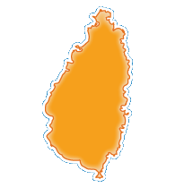
The island, with its fine natural harbor at Castries, was contested between England and France throughout the 17th and early 18th centuries (changing possession 14 times); it was finally ceded to the UK in 1814. Even after the abolition of slavery on its plantations in 1834, Saint Lucia remained an agricultural island, dedicated to producing tropical commodity crops. Self-government was granted in 1967 and independence in 1979.
|


 Antigua & Barbuda
 Bahamas
 Barbados
 Belize
 Canada
 Costa Rica
 Cuba
Cuba Dominica
 Dominican Rep.
 El Salvador
 Grenada
 Guatemala
 Haiti
Haiti Honduras
 Jamaica
 Mexico
 Nicaragua
 Panama
 St. Kitts & Nevis
 St. Lucia
 St. Vincent & Grenad.
 Trinidad & Tobago
 USA
USA